Your phone’s GPS chip works anywhere. It doesn’t need phone signal to find you. What it does need is offline maps stored on the phone, and that’s where most navigation problems start: the blue dot is there, but the screen around it is grey.
So setting up offline maps for overlanding takes twenty minutes at home. In contrast, doing it at a trailhead with one bar of signal can take all evening.
Step 1: download offline maps before you go
- Download the whole area you might drive through, plus a margin. Routes change because of closures, weather and curiosity.
- Download at a zoom level that shows tracks, not just highways. Some apps let you choose the detail level.
- Open the map in airplane mode at home to check it really works offline.
- Check storage. A whole region of detailed topo can take several gigabytes.
Step 2: pick an app for offline maps
There isn’t one right answer. Most overlanders end up with one main app and one free backup.
| App | Good for | Keep in mind |
|---|---|---|
| Google Maps (offline areas) | Roads and towns, finding fuel | Shows few dirt tracks, offline areas expire if not updated |
| Organic Maps | Free, OpenStreetMap-based, good track coverage | Simpler planning tools |
| Gaia GPS | Many map layers, including US Forest Service motor-vehicle maps | The interface takes time to learn |
| onX Offroad | Trail info for vehicles, land ownership layers in the US | Paid tiers for the most useful features |
| Avenza Maps | Official PDF maps (for example US Forest Service MVUMs) | You download each map separately |
Prices and features change often, so check the current versions. Most paid apps have a free trial, which is a good way to test them on a local trip before a big one.
Step 3: know where you’re allowed to drive
However, a track on a map is not permission to drive it. In the US, the Forest Service publishes Motor Vehicle Use Maps (MVUMs) that show which roads are open to which vehicles and when. Other countries have their own rules. Getting this wrong can mean a fine, or a long reverse back down a track that ends at a locked gate.
Step 4: carry a backup that doesn’t need a battery
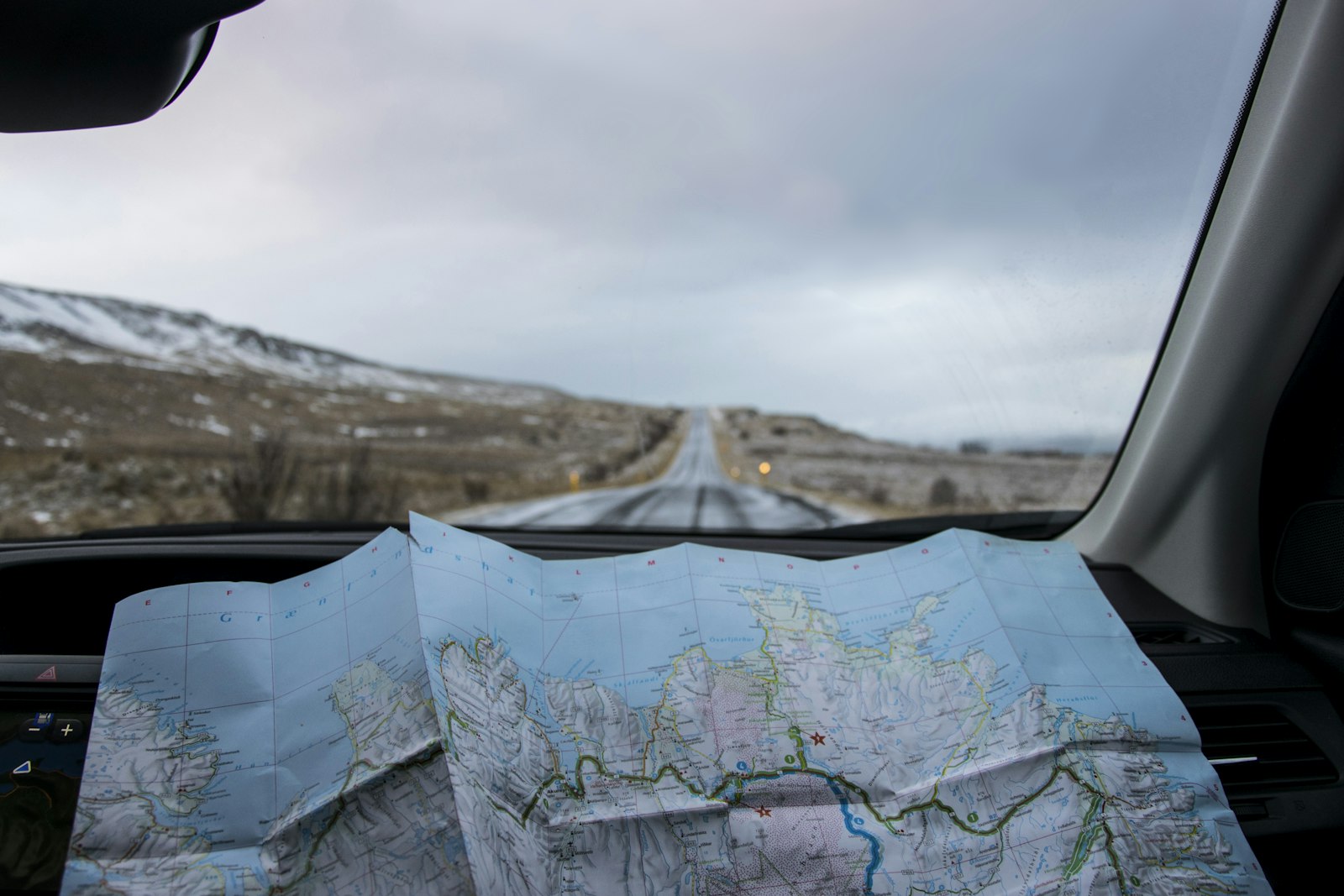
After all, phones overheat on dashboards, crack, run flat and get dropped in rivers. A paper map of the region is cheap, and it shows the big picture in a way a phone screen never does. Learn to find yourself on it at least roughly.
- A paper map of the area, in a zip bag
- A second device with the same maps downloaded, even an old phone
- A way to charge both from the vehicle
- A compass, and the habit of looking at the sun
Navigation is not communication
Knowing where you are doesn’t help if you can’t tell anyone. For that you need a satellite messenger, a PLB or, increasingly, satellite internet. Our satellite messenger vs PLB guide and our look at the Starlink Mini for overlanding cover the options. And before any remote trip, leave your route with someone at home.
FAQ
Does GPS work without phone signal?
Yes. GPS receives signals from satellites and doesn’t need a mobile network. You only need signal to download maps, so do it before you leave.
Do I need a dedicated GPS unit?
Not for most trips. A phone with offline maps plus a paper map covers most people. A dedicated unit makes sense for very remote or long trips, because it’s tougher and runs on replaceable batteries.
Sources
- Goats Trail – onX Offroad vs Gaia GPS
- US Forest Service – Motor Vehicle Use Maps (example: Sawtooth National Forest)
App features and prices change often. Always check local rules on which roads and tracks are open to vehicles.
Featured photo: Tabea Schimpf on Unsplash.